Simple environmental management

Covram is an easy to use environmental management platform that helps record, assess and manage natural resources.
Finley 3 Mile 30/05/2023
Turners 23/05/2023
Municipal Boundary Pretty Pine 28/05/2023
Gillenbah 24/05/2023
stadium 16/05/2023
Travellers Point 09/05/2023
puckawidgee 29/05/2023
Hamilton Park Grassland 41 08/06/2024
One Mile 15/05/2023
Home 8 31/01/2025
The Cape 23/05/2023
Geehi 1 02/02/2025
Yarrabee 24/05/2023
Test Site 17/05/2024
McInnes 30/05/2023
Killawarra 4 10/08/2023
Murray 10 15/11/2023
Winton 1 15/10/2023
Killawarra 6 10/08/2023
Boghole 15/11/2023
North Yards Shire Boundary 29/05/2023
A Test Site 03/12/2024
Urana Flora Reserve 1 29/10/2024
12 Mile 22/05/2023
Home 4 09/01/2024
Home 4 18/02/2024
Kieta 10/05/2023
Whiteheads 22/05/2023
bimbadeen 07/05/2023
Winton Spit Island South 22/05/2024
Winton Spit Island South 17/02/2025
Winton Spit Island South 24/10/2024
Winton Spit Island South 20/03/2024
Forest Creek Conargo Rd 29/05/2023
Croppers Lagoon 09/05/2023
Greens Hill 05/10/2023
Oil tree Lagoon 14/05/2023
Oil tree Lagoon 29/10/2024
Foxes 31/05/2023
Crossleys 29/05/2023
Wangaratta Common 3 09/10/2023
Munyabla Cemetery 29/10/2024
Dayesdale 22/05/2023
Fernbank 05/06/2023
Murchison Tank 09/05/2023
Widgiewa 23/05/2023
Winton Spit Island North 20/03/2024
Winton Spit Island North 17/02/2025
Winton Spit Island North 22/05/2024
Winton Spit Island North 24/10/2024
Winton Northern Spit 20/03/2024
Winton Northern Spit 27/12/2023
Dickens 22/05/2023
Sandhills 23/05/2023
Wangamong 21/05/2023
Tuppal 410R 29/05/2023
Wahgunyah 1 01/11/2023
Ned's burnt 17/05/2023
Yellow Waterholes 10/05/2023
Killawarra 5 10/08/2023
Pickering's Hut 3 29/11/2024
Samaria 1 10/05/2024
Morago-Devon Road 28/05/2023
Home 2 09/01/2024
Home 2 06/03/2024
Langtrey 30/05/2023
Greensborough Test 26/03/2024
Wakool tip yards 17/05/2023
Mains 30/05/2023
Nobles Bend 24/05/2023
Home 1 09/01/2024
Wangaratta Common 11 18/08/2024
Back Paddock 1 04/04/2024
Rifle Range 05/10/2023
jindalee 07/05/2023
Home 01/07/2023
Montys 23/05/2023
Billabong 24/05/2023
7 Mile Conargo Rd 29/05/2023
The Yanko 24/05/2023
16 Mile Finley Rd 29/05/2023
WoodPark 05/06/2023
Claire's Square 24/05/2023
Darcys 21/05/2023
Fitzroy Park 22/03/2024
Horseshoe Lagoon 2 12/11/2024
Oakland Well 21/05/2023
Tocumwal 3 Mile 10/05/2023
Myall Plains 21/05/2023
Killawarra 10 31/03/2024
Hobart Beach 03/03/2024
Hobart Beach 14/03/2025
Quat Quatta 14/05/2023
Doodle Comer 1 29/10/2024
Hoverdens 30/05/2023
Black Point 23/05/2023
Gerri's Plains 15/05/2023
Cattanachs 24/05/2023
Booroorban 28/05/2023
Boomanoomana 10/05/2023
Wahgunyah 2 02/11/2023
Momolong 21/05/2023
Paradise 28/05/2023
Pickering's Hut 2 29/11/2024
Wangaratta Common 12 18/08/2024
Winton 1 20/03/2024
Hobart Beach 2 13/03/2025
Killawarra 8 10/08/2023
Buraja 22/05/2023
Coreen Round Swamp 22/05/2023
Narrow Plains 21/05/2023
Wangaratta Common 4 09/10/2023
Lake Rowan Cullen NC 16/08/2023
Gillenbah South 24/05/2023
Martindale 22/05/2023
Slaughterhouse 21/05/2023
Horseshoe Lagoon 1 12/11/2024
Winton Spit 6 24/10/2024
Whitton Punt 24/05/2023
Winton Northern Spit 3 20/03/2024
Logans 23/05/2023
Wangaratta Common 1 09/10/2023
Cemetery 30/05/2023
Boyds 05/06/2023
Drain Lane 09/05/2023
Neimur TSR 17/05/2023
Figure 8 14/05/2023
Wangaratta Common 2 18/08/2024
Kieta 30/05/2023
Mt Meg 3 23/09/2024
Ferguson's Tank 09/05/2023
Pickering's Hut 1 29/11/2024
Hobart Beach 2 03/03/2024
Wangaratta Common 2 09/10/2023
Collendina Jacobs  09/05/2023
Winton Spit Island 1 17/02/2025
Winton Spit Island 1 22/05/2024
Winton Spit Island 1 20/03/2024
Winton Spit Island 1 24/10/2024
Kosioscko 1 02/02/2025
Bundalong 1 04/11/2023
Lila's Dam 15/05/2023
Wangaratta Common 10 18/08/2024
Racecourse  30/05/2023
Salt Creek 1 14/07/2024
Kings Canyon Rim Walk 1 15/07/2024
Ormiston Creek Burn 1 18/07/2024
Kings Canyon Rim Walk 1 15/07/2024
Agnes Creek 2 10/07/2024
Port Augusta 1 08/07/2024
Ormiston Pound 1 17/07/2024
Agnes Creek 2 10/07/2024
Uluru 2 12/07/2024
Port Augusta Botanical Gardens 08/07/2024
Ormiston Pound 2 17/07/2024
Agnes Creek 1 10/07/2024
Agnes Creek 3 10/07/2024
Kata Juta 13/07/2024
Murray River 2 06/07/2024
Mereenie Track 1 16/07/2024
Mereenie Track 2 16/07/2024
Tyler Bluff 16/07/2024
Uluru 3 12/07/2024
Kara Juta 1 13/07/2024
Murray River 1 06/07/2024
Port Augusta 2 08/07/2024
Ormiston Gorge Campground 18/07/2024
14-2 18/12/2023
14-2 03/09/2024
11-3 13/12/2023
11-3 17/09/2024
10-1 17/09/2024
10-1 20/11/2023
18-2 04/09/2024
18-2 21/11/2023
18-1 21/11/2023
18-1 04/09/2024
11-2 17/09/2024
11-2 13/12/2023
3-2 14/01/2025
3-2 28/01/2024
20-3 14/01/2025
20-3 28/01/2024
12-2 18/09/2024
12-2 18/12/2023
2-1 03/09/2024
2-1 28/01/2024
13-2 18/12/2023
13-2 03/09/2024

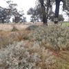
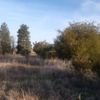
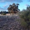
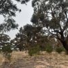
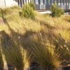
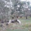
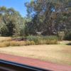
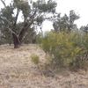
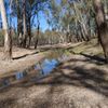
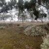
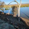
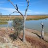
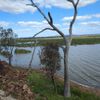
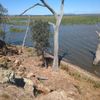
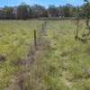
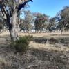
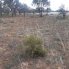
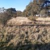
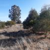
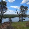
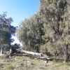
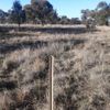
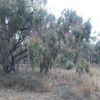
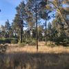
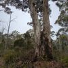
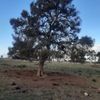
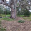
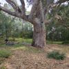
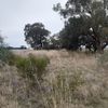
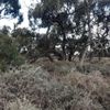
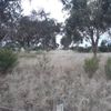
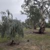
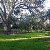
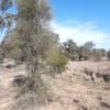
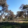
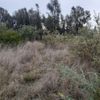
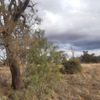
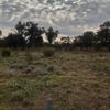
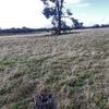
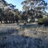
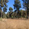
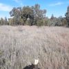
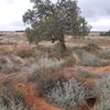
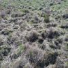
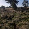
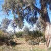
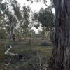
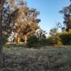
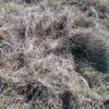
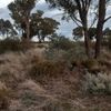
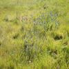
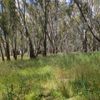
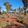
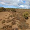
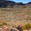
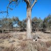
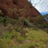
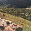
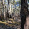
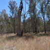
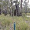
Easily record environmental data

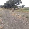
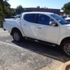
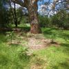
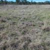
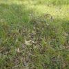
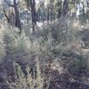
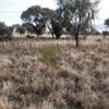
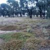
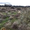
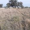
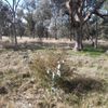
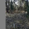
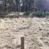
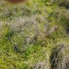
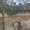
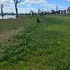
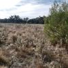
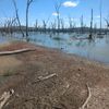
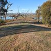
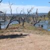
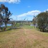
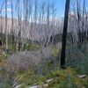
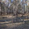
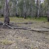
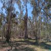
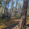
From simple photopoint monitoring to complex ecological surveys, the Covram mobile app allows users to capture a wide range of environmental field data.
  • View photos and field data instantly on your desktop or laptop with automatic syncing.
  • Add users to share data and collaborate on projects with ease.
  • Complete follow up inspections to monitor change over time.
Man setting up a photopoint for monitoring

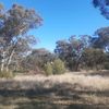
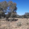
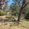
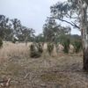
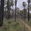
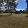
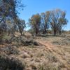
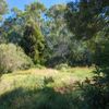
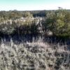
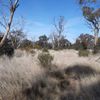
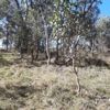
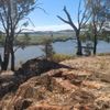
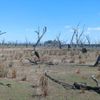
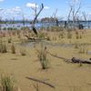
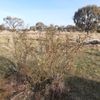
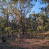
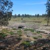
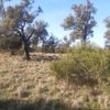
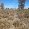
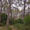
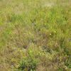
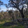
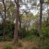
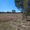
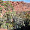
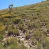
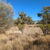
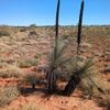
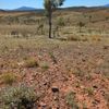
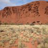
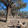
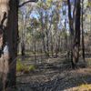
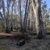
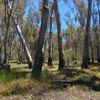
Understand your environmental assets

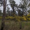
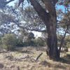
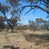
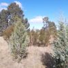
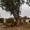
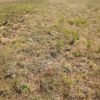
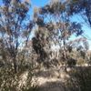
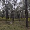
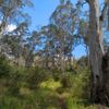
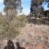
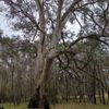
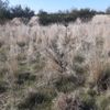
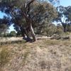
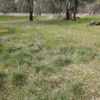
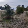
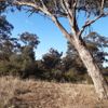
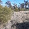
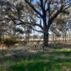
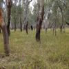
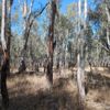
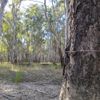
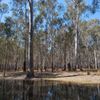
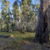
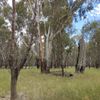
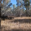
Use a common language and framework to effectively assess and manage your natural resources, and develop a clear understanding of the condition of your native vegetation.
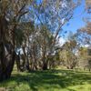
  • Benchmark the condition of native vegetation in minutes using our proven methodology.
  • Empower and upskill your team to contribute to land management activities using a consistent and simple to apply framework.
  • Identify high potential sites for conservation and restoration to maximise environmental outcomes.
Ian Davidson inspecting leaves

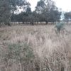
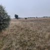
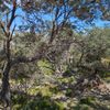
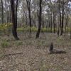
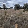
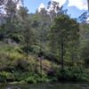
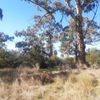
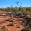
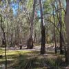
Efficient management and reporting

Apply filters to identify trends and spot patterns across projects, or drill down to individual sites and high quality photos for more detailed analysis.
  • Analyse data at any scale from paddock to nationwide using a common, standardised approach.
  • Measure the impact of grant funding on environmental outcomes and track progress against targets.
  • Easily export photos and data to Excel or GIS for further analysis and reporting.
Screenshot of sites on Covram web app
For 30 years I have waited for someone to develop a simple, standard approach to assess and manage native vegetation that utilises the great existing knowledge of land managers out there. Covram is my effort to make this a reality.
Ian Davidson

Ian Davidson

Founder of Covram

Features That Set Us Apart

Our easy to use platform combines a range of features that make it simple to record, assess and manage your native vegetation and natural resources.
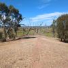
Built for land managers
Developed by Ian Davidson, a land management expert with over 30 years of experience in the field.
Simple, inclusive language
Our platform is designed for everyone, from land managers to conservationists and farmers.
Offline capable
Assess and manage your native vegetation even when you're out of mobile service.
Automatic data syncing
Data is automatically synced between the mobile app and the desktop platform.
Proven methodology
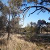
Our native vegetation assessment methodology utilises a state and transition model approach, a proven method for assessing and managing native vegetation.
Easily import or export data
Download photos, export data to Excel for further analytis or import existing GIS layers to enhance your project.

Create your free Covram account today!

Sign up for your free account today to see how Covram can help you manage your native vegetation more effectively.